Showers tonight will be followed by a cooldown to more typical November temperatures
Temperatures returning to near-average by mid-week
Published: Nov. 10, 2026 at 5:46 PM CST|Updated: 18 minutes ago
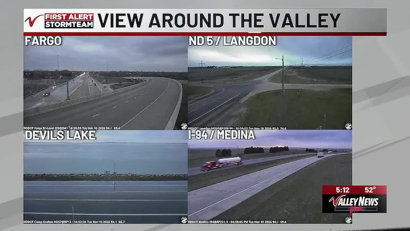
A clipper system brings increasing clouds and a few evening showers. Cooler air follows with temperatures returning to near-average through the rest of the week, though it will feel much colder after the recent relative warmth.
Midweek Weather Maker brings raindrops & colder conditions
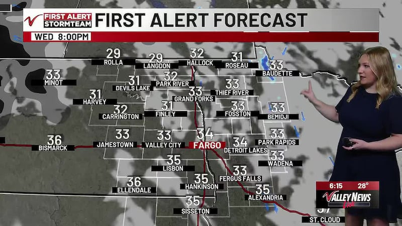
- Tuesday afternoon and evening, a clipper will sweep in and bring a few light showers to the region. The rain will mainly impact the central and southern areas of the valley.
- Not much rain is expected from the showers, with about 0.1″ expected in the central and southern valley at most. The bulk of the moisture will exit by mid-morning Wednesday.
- Much cooler air will follow for the rest of the week.
Chilly late week ahead of another mild, sunny weekend
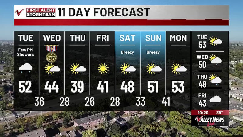
- Cool air will continue hanging out in our region for Thursday and Friday. As a result, expect highs in the upper-30s to low-40s and lows in the 20s for Thursday and Friday. That makes those two days the seasonably coolest days of the week.
- Then between the weekend and next week, an upper-level pattern will allow warmer air to lift back into our region. This allows afternoon temperatures to reach the upper-40s to low-50s over the weekend into next week.
- All the while, we’re looking at partly sunny skies throughout the weekend into next week. There is a chance of rain sometime next week. It’s several days out, however, so we’ll watch for it carefully.
Fargo 7-Day Weather Forecast
- Tuesday: Increasing clouds. Few P.M. showers. High: 52.
- Wednesday: Partly cloudy. Breezy. Low: 36. High: 44.
- Thursday: Partly cloudy. Low: 28. High: 39.
- Friday: Mostly sunny. Low: 26. High: 41.
- Saturday: Partly cloudy. Breezy. Low: 28. High: 48.
- Sunday: Partly cloudy. Low: 33. High: 51.
- Monday: Partly cloudy. Low: 41. High: 53
Copyright 2026 KVLY. All rights reserved.